Blog
Cloud cover vs smoke cover: what actually blocks a satellite fire perimeter update
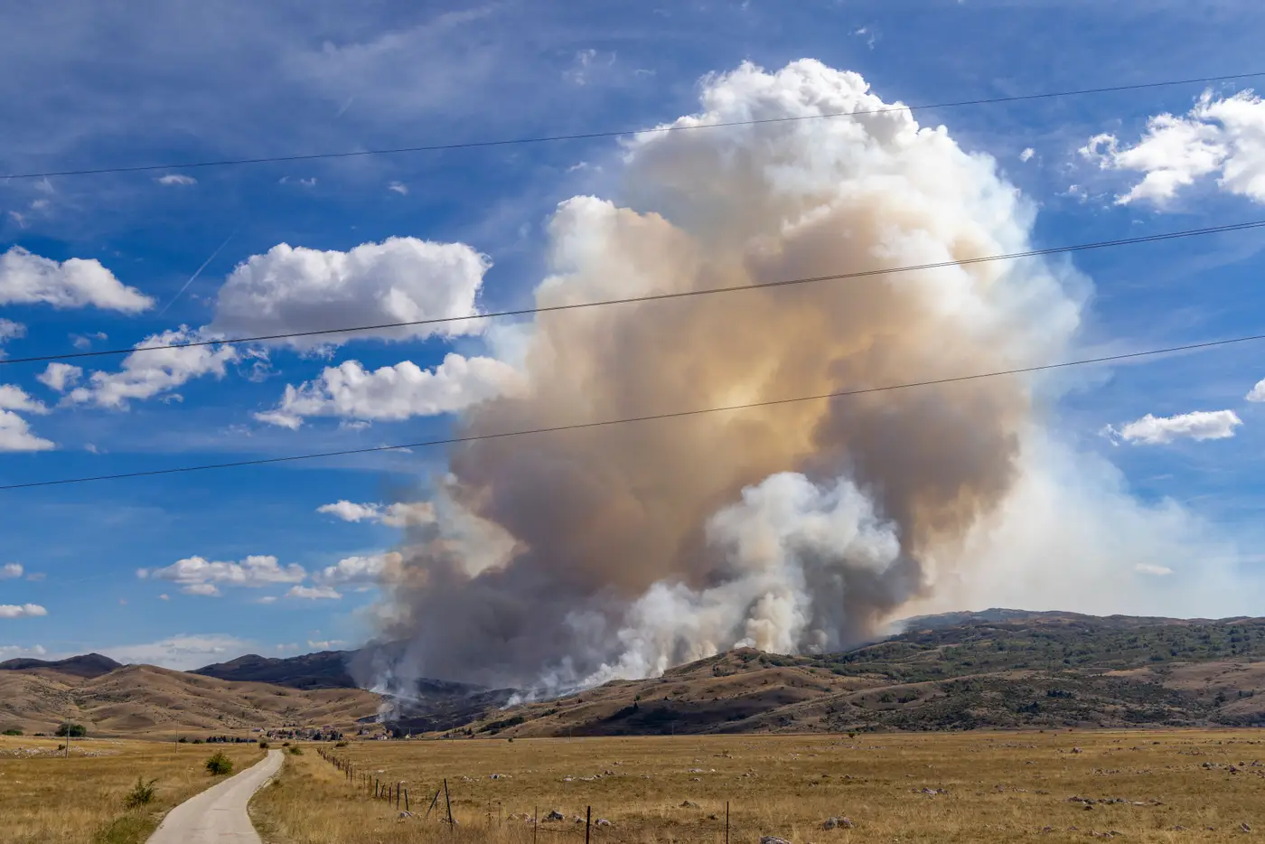
If you've ever opened a perimeter layer the morning after a run and found yesterday's data still sitting there, you've probably already guessed the cause. The question is which one. Cloud cover and smoke cover get lumped together as "the satellite couldn't see," but they're different problems with different fixes, and knowing which one hit you changes what you do next.
What cloud cover actually blocks
Cloud cover is the old, familiar problem. A deck of cumulus or a frontal system rolls over the fire area between overpasses, and any sensor working in the visible or near-infrared range just sees the top of the clouds. Doesn't matter how good the resolution is. If there's a solid cloud deck between the sensor and the ground, that pass is a write-off for that footprint.
This is the limitation most GIS staff already plan around, because it shows up on every weather briefing. You know a frontal passage is coming, you know the afternoon convective buildup over the burn is going to sock in the ridge by 2pm, and you adjust expectations for that day's update accordingly.
What smoke cover does instead
Smoke is the one that catches people off guard, because it doesn't look like an obstruction from the ground. You can be standing in a staging area with a visible column overhead, decent visibility at eye level, and still have a satellite pass come back unusable over the active flank. Standard optical bands scatter off smoke particulate almost as badly as they do off cloud. Dense smoke, especially a fresh plume loaded with fine particulate from active combustion, can degrade a true-color or standard multispectral pass just as hard as an overcast layer would. The imagery comes back hazy, low-contrast, sometimes unreadable right where you need it most: over the active front, where the fire is still making the smoke that's blocking the view of itself.
That's the frustrating part of it. The worse the fire is running, the more smoke it's generating, and the harder it gets to see the exact area where perimeter movement matters most that day.
Why SWIR changes the picture
Shortwave infrared bands see through a meaningful amount of smoke that visible and near-infrared can't. SWIR wavelengths are long enough that fine smoke particulate doesn't scatter them the same way it does shorter wavelengths, so a sensor working in that range can often resolve a hot perimeter and the surrounding burned area even with a plume sitting over it. It's also the band that separates active fire front from already-burned ground and grades severity across the scar, because SWIR responds to the heat signature and the char differently than it responds to standing vegetation.
None of this helps with actual cloud. A SWIR pass still can't see through a thick cloud deck any better than a visible-light sensor can; cloud water droplets block that range of the spectrum too. So the two obstructions aren't interchangeable for planning purposes. Smoke is the one SWIR-based mapping is built to work around. Cloud is the one that still costs you a day regardless of sensor type.
What this means for your update cadence
If you're running suppression planning off a perimeter product that updates daily during an active event, the honest expectation is: smoke days are mostly covered, cloud days are mostly not. When a pass comes back missing or degraded, it's worth checking which one it was before you assume the tool failed. A frontal system over the whole fire area is a different situation than a smoke-only gap, and it tells you something different about when the next clean pass is likely to land.
This is also why wide-swath coverage matters more than it sounds like it should. A single flyover gives you one shot at one moment; if that moment lands under cloud, you're done for the day. Wide-swath satellite coverage run on a daily cadence gives you more chances to catch a clear or smoke-penetrable window somewhere in that revisit cycle, which is the practical reason Fire Perimeter Map builds its update cycle around SWIR-based indices rather than standard optical bands.
If you're deciding whether satellite perimeter mapping is going to hold up on your next active event, it's worth seeing what a SWIR-based daily feed looks like against your own fire area.