Log
Blog
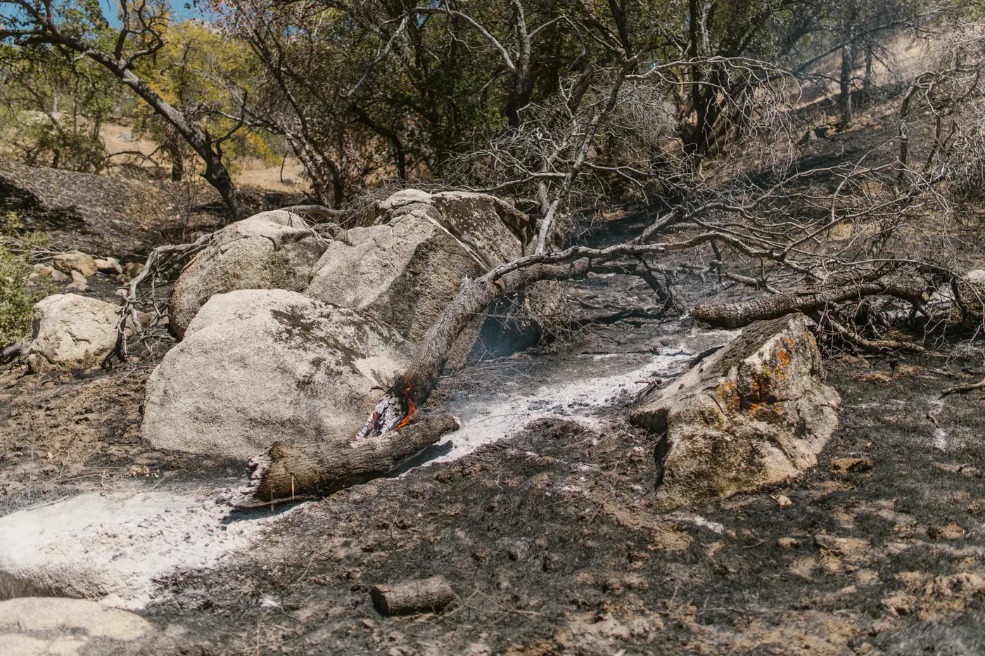 What is a patrol line, and why mop-up crews walk it after containment
What a patrol line is, how it differs from the control line and mop-up, and why crews keep walking it after containment is called.
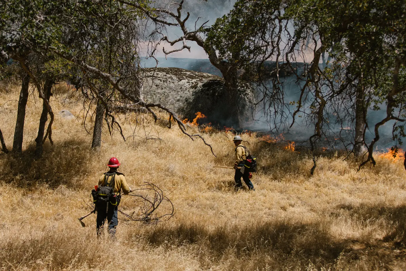 Briefing an IMT off a daily satellite perimeter: what goes on the slide
How to work a daily satellite-derived fire perimeter into the operational period briefing without losing the room or the planning section.
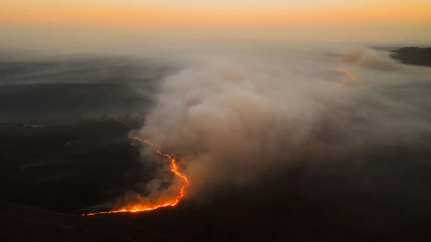 Fire progression map vs. daily perimeter update: what's the difference?
A progression map shows how a fire grew over time. A daily perimeter update shows where it stands today. Here's when IMTs need each one.
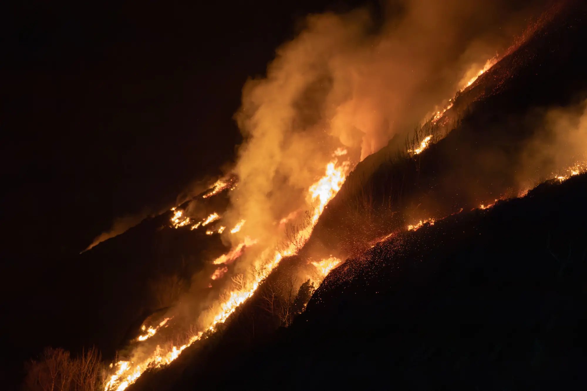 Field notes: the night the fire laid down and the map finally caught up
A field-notes account of a night a fire's behavior shifted faster than the aircraft could catch it, and what that gap cost the next morning's briefing.
- Slop-over vs. spot fire: telling them apart on the perimeter map
How to read a fire perimeter map and tell a slop-over from a spot fire, and why the call changes your suppression plan and resource order.
- GACC perimeter data vs. satellite-derived perimeters: what's actually different
How GACC/NIFC interagency fire perimeter data compares to daily satellite-derived perimeters, and why the gap matters for suppression planning.
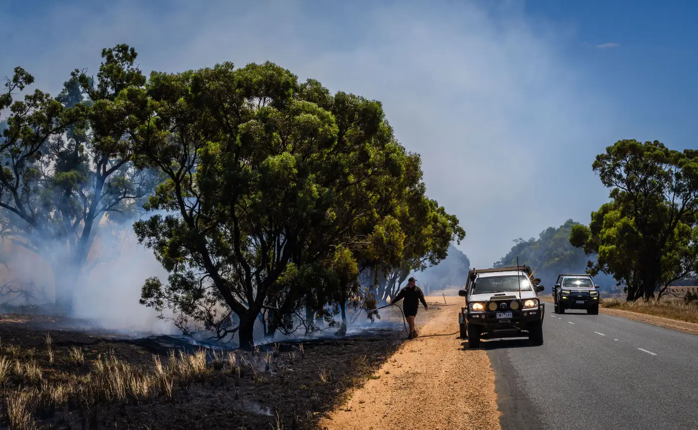 What is a perimeter confidence level in fire mapping?
Confidence level in fire mapping explained: what high confidence lines mean, and how modeled perimeters differ from mapped ones.
- Field notes: the week the line held and the map still had to prove it
A field notes account of a week on an active fire: the line held, but the perimeter map still had to catch up to what crews already knew.
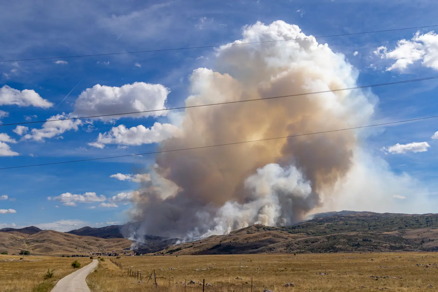 Reconciling a satellite fire perimeter with a GPS-walked line
Why satellite perimeters and GPS-walked lines disagree, and a working method for reconciling them before the next ops brief.
- Cloud cover vs smoke cover: what actually blocks a satellite fire perimeter update
Cloud cover and smoke cover aren't the same obstruction for satellite fire mapping. Here's why SWIR gets through one and not the other.
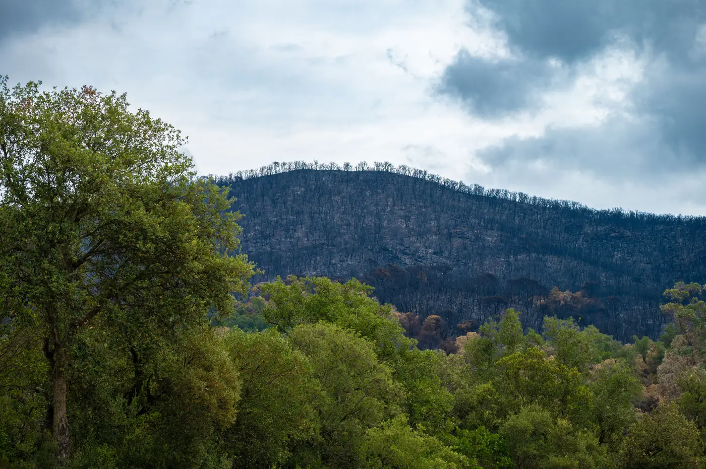 SWIR vs NDVI: what actually separates the fire front from burned ground
NDVI shows you scorched vegetation. SWIR shows you where the fire still is. Here's why that distinction matters for perimeter mapping.
- dNBR vs RdNBR: how to tell them apart
A GIS officer's guide to telling dNBR and RdNBR apart, and when the relative burn severity index earns the extra step.
- What is a BARC map, and how do BAER teams use it
What a BARC map is, how it differs from BAER soil burn severity, and how both feed post-fire rehab planning and funding decisions.
- Containment line vs control line: what's really different
A GIS-level breakdown of containment line vs control line, two terms that get used interchangeably on incident maps but mean different things.
- Satellite revisit vs. night-flying IR: which tracks fire growth faster
How satellite revisit cadence stacks up against night IR flights for tracking an active fire, and when an intel section should lean on each.
- VIIRS vs MODIS active fire detection: what the pixel size tells you
VIIRS vs MODIS active fire detection compared: pixel size, revisit timing, and why neither gives you a usable fire perimeter.
 What is WUI mapping, and how does it shape evacuation zones
What wildland urban interface mapping is, how it feeds evacuation zone planning, and why a static WUI layer needs daily perimeter data once a fire is active.