Blog
Field notes: the week the line held and the map still had to prove it
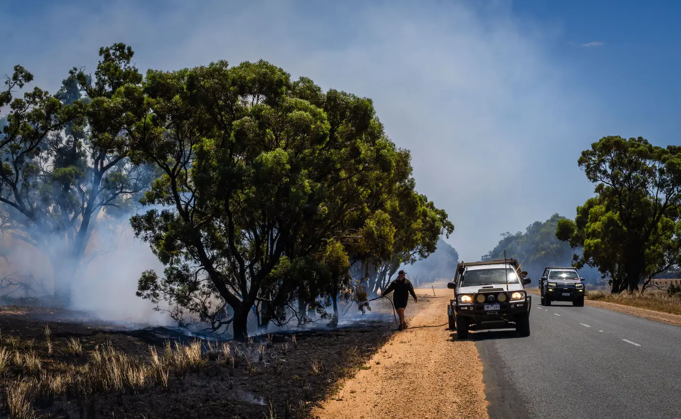
Day nine of containment and the line held through two wind events that should have tested it. Division Alpha reported zero slopover on the Tuesday red flag. Division Charlie had one spot, caught at under a tenth of an acre, mopped up before the morning briefing even started. By any measure the crews had won their sections. The fire behavior analyst's forecast had called for erratic gusts out of the canyon, and the line crews had answered it without losing ground.
None of that meant the perimeter on the map was done.
This is the part that doesn't make it into the incident commander's briefing but eats the GIS unit's whole afternoon. A held line is a tactical fact. A finished perimeter is a cartographic one, and the two don't update on the same clock. Crews know within hours whether a section holds. The map needs a clean overpass, a clear look through smoke and canopy, and enough contrast between char and green to draw a line anyone downstream can trust. On a week like this one, with inversion layers sitting on the drainage most mornings, that clear look doesn't always show up on schedule.
So the 209 went out Tuesday with a perimeter that was accurate about containment and conservative about acreage, because the previous day's imagery hadn't resolved the finger of unburned fuel along the eastern flank that the IR flight had flagged but a single pass couldn't confirm. Finance wanted a number for the cost share paperwork. Planning wanted a number for the next operational period's resource order. Both numbers depend on the same polygon, and the polygon was still catching up to what the line crews already knew on the ground.
A wide-swath pass with a clean SWIR signature closed the gap. It separated the active front from the already-burned ground cleanly enough to trust, and graded burn severity across the interior in the same pass, so severity didn't sit waiting for a second product two weeks out. That's the difference between a perimeter you footnote and one you hand to the planning section chief without a caveat. One pass answered the containment question and the recovery question in the same layer, which matters more than it sounds like it should when you're the one who has to explain to three different audiences why yesterday's acreage and today's don't match.
That's roughly the use case behind a daily fire perimeter product built off that same kind of wide-swath, SWIR-based read, and on a week like this one it's the difference between a map that confirms what division supervisors already called in and a map that's still catching up to them.
By Thursday the severity grading mattered more than the perimeter did. BAER was already circling, wanting to know which drainages burned hot enough to worry about debris flow before the first rain, and which ones came through at a scorch that the duff layer would recover from on its own. That's a recovery question, asked before the fire is even out, because every agency downstream of this one plans around the answer.
The line held all week. The map took longer because confirming what the crews already knew takes a clean look at the ground, and clean looks come on the satellite's schedule rather than the incident's. By Friday the two finally agreed, severity grading included, and the 209 that went out that afternoon didn't need a footnote.
If your week looks like this one, worth a look at what a daily, severity-graded perimeter does for the next briefing.