Blog
SWIR vs NDVI: what actually separates the fire front from burned ground
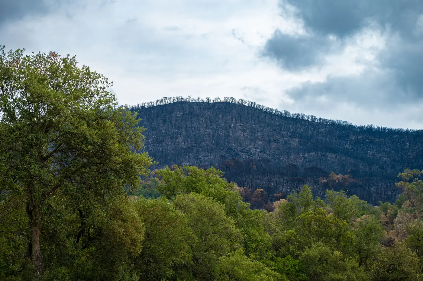
If you've pulled an NDVI layer mid-incident hoping it would show you the active edge, you already know the problem. NDVI tells you where vegetation has stopped being green. It does not tell you whether that patch of ground is still burning, smoldering, or went cold three days ago. For perimeter work, that gap matters more than almost anything else on the map.
Why NDVI lags the fire
NDVI, the Normalized Difference Vegetation Index, compares red and near-infrared reflectance to measure chlorophyll content. It's a vegetation-health index first, repurposed for fire mapping because burned vegetation reads differently than live vegetation. The problem is timing and sensitivity. A scorched canopy can take days to fully register as "dead" in NDVI, and a surface fire that consumes understory without torching the overstory can barely move the number at all. Smoke in the visible and near-infrared bands adds more noise on top of that lag.
So NDVI ends up answering a different question than the one an ops section chief is asking. It'll eventually show you that an area burned. It won't reliably show you that it's burning right now, and it won't draw a clean line between the active front and ground that's already been through.
What SWIR picks up that NDVI misses
Short-wave infrared behaves differently. Burned ground, with its char and drastically reduced moisture, has a distinct SWIR signature compared to green, moisture-holding vegetation, and that contrast is sharper and more stable than the one NDVI relies on. SWIR also sees through light-to-moderate smoke better than visible bands do, which matters when your incident has been socked in for two burn periods in a row.
This is the basis for the Normalized Burn Ratio and its delta form (NBR and dNBR), the standard tools fire ecologists have used for years to grade severity after an event. The same underlying contrast, live versus char, lets you draw a working line between recently burned interior and the still-active perimeter while the incident is running, not just after it's out. NDVI is measuring the wrong physical property for that question; SWIR is measuring the right one.
NDVI still has a role in post-season vegetation recovery tracking over longer time horizons. It's just the wrong index to reach for when the question on the whiteboard is "where's the line today."
Why this matters for suppression and recovery planning
An intel section pulling daily imagery needs to know where the active edge sits against the dozer line, where interior pockets have already burned out and can be reassigned to mop-up, and where burn severity is heavy enough to flag for BAER assessment once containment holds. A vegetation-stress trend answers none of that. A SWIR-based read gets you a perimeter and a severity grade in the same pass, built off the same imagery, instead of stitching together two indices that were never built to agree with each other.
That's the gap Fire Perimeter Map is built around: SWIR-based indices run against wide-swath multispectral satellite imagery, refreshed daily while the event is active, splitting the fire front from already-burned area and grading severity across it, then carrying straight into recovery assessment once the fire's out. No flyover scheduling, no waiting on a single pass over your incident.
If your current workflow is still leaning on NDVI to answer a SWIR question, it's worth seeing what a daily perimeter and severity read looks like instead.