Blog
Briefing an IMT off a daily satellite perimeter: what goes on the slide
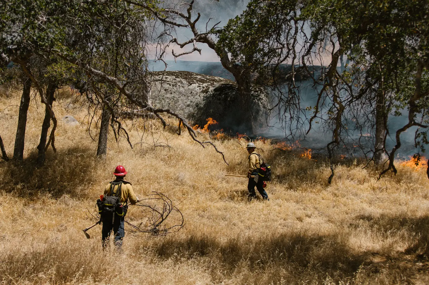
If you've sat in the back of an 0600 briefing with a laptop open, you already know the problem isn't getting a perimeter. It's getting one that holds up when the ops section chief asks why division Zulu doesn't match what the dozer boss radioed in an hour ago. A satellite-derived perimeter is only useful to an IMT if you can explain what it is, what it isn't, and why it's worth five minutes of the operational period briefing.
Know what you're actually showing them
Before you put a perimeter on the screen, decide out loud (to yourself, if nobody else) which product you're showing: a heat detection, a mapped fire edge, or a modeled severity layer. These get conflated constantly and an IMT will catch it if you don't.
A SWIR-derived product splits active fire front from already-burned ground and grades severity across the burned area. That's different from a hotspot detection, which just tells you where something's hot right now, and different from a dozer line GPS track, which tells you where equipment has been. When you brief the planning section, say which one you're looking at. "This is this morning's satellite pass, active edge in red, burned interior graded by severity" takes four seconds and saves you from a division sup standing up and saying that's not where the fire was at 1400 yesterday, because it wasn't, that's the point.
Resolution matters here too. A wide-swath product running 10 to 30 meters ground sample distance will not catch a single-tree torch-out or a narrow finger pushing through a drainage. It will catch where the active front sits relative to a ridge, a road, or a planned contingency line, which is the scale an IMT actually plans at. If someone asks whether it caught the spot fire across Highway 9, say no, and tell them what did (air attack, a recon flight, a ground resource) catch it. Don't let the satellite layer answer for things it didn't see.
Where it earns its five minutes in the briefing
The daily perimeter does the most work in two slots: the situation update and the planning meeting that follows it.
In the situation update, lead with the overnight change. "Perimeter grew 400 acres to the northeast overnight, active front still outside the Forest Service road" tells command and general staff what they need before the weather brief. Resist the urge to walk the whole boundary clockwise. Nobody in that room has time for a travelogue.
In the planning meeting, the severity grading earns its keep differently. A planning section chief laying out tomorrow's division breaks wants to know where the fire burned hot (likely still smoldering, root systems involved, mop-up heavy) versus where it backed through at low intensity. That distinction, pulled from the same daily pass, feeds straight into resource typing and into the IAP's assignment list without anyone having to wait on a ground recon that may not happen before shift change.
If you're also the one building the 209, the daily refresh gives you a defensible "as of" time and source for the perimeter acreage, which matters more than people think once an incident runs long enough that someone upstream starts asking why yesterday's number and today's number don't reconcile.
Set expectations with the room once, not every day
The first time you brief a satellite-derived layer to an IMT that hasn't worked with one, say plainly: this refreshes once a day, it's wide-swath satellite coverage rather than a single aircraft pass over the fire, and it won't replace a recon flight or ground truth on the lines. Say it once, clearly, at the first operational period you introduce it, and you won't have to re-litigate it every morning. IMTs rotate in and out of a fire; new overhead teams need that same thirty-second framing when they take command, so don't assume the last team's briefing carries over.
What you're trying to avoid is the layer getting treated as gospel by someone two levels removed from the fire, or getting dismissed by someone on a division who caught it missing a spot fire once. Both failure modes come from skipping the one sentence about what the product is and isn't.
If you're trying to get a clean daily edge and severity grade into tomorrow's 0600 without building it yourself from raw scenes, Fire Perimeter Map is built around exactly that workflow, pulled fresh each day while the fire's active. Worth a look before your next briefing cycle.