Blog
Field notes: the night the fire laid down and the map finally caught up
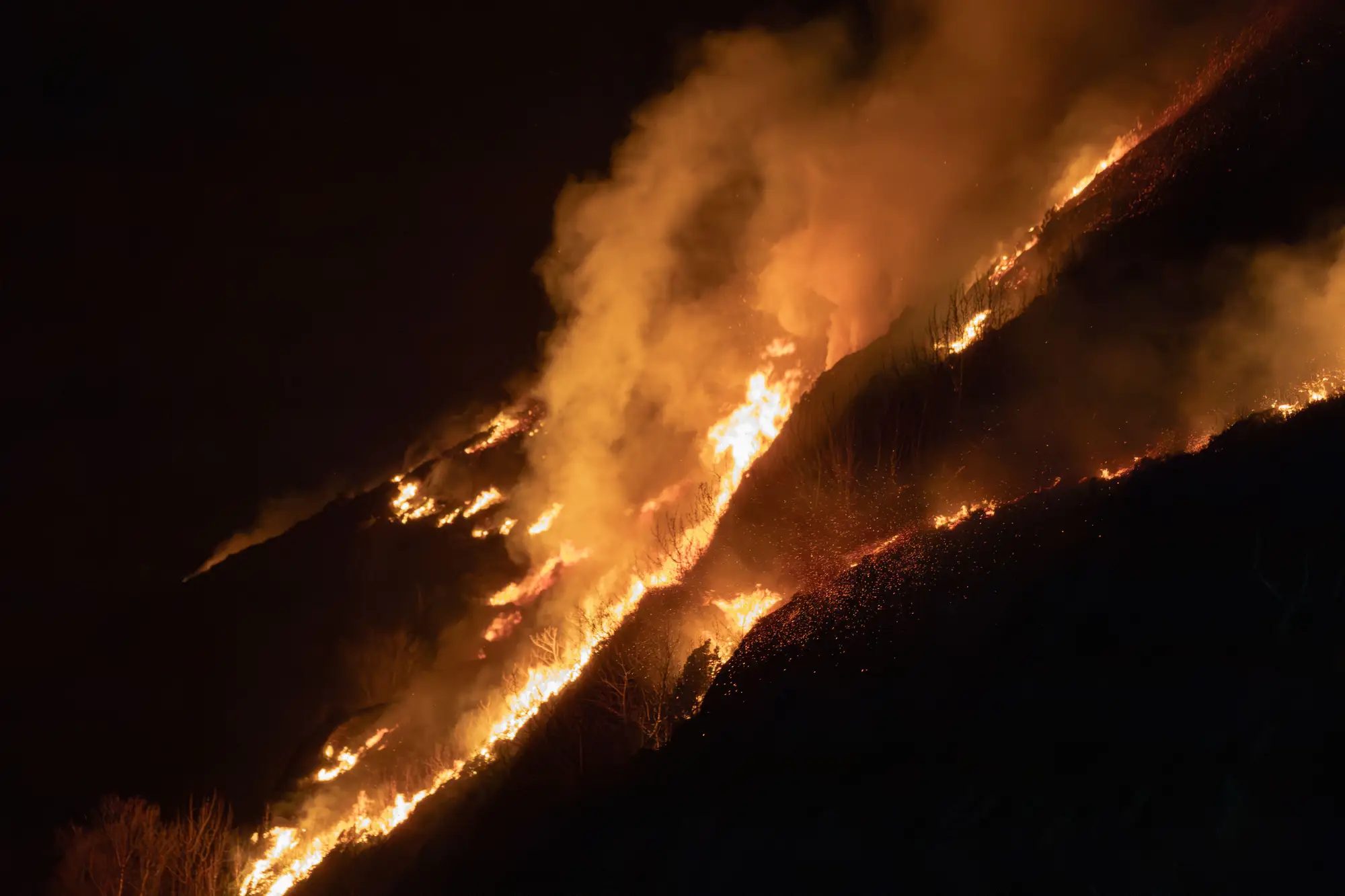
There's a particular kind of frustration that only shows up around hour sixteen of an extended attack, when the fire behaves better than anyone expected and the map doesn't know it yet.
I was running intel on a timber fire in steep country last season, the kind where the plan calls for a run up a drainage every afternoon once the slope catches sun and the relative humidity bottoms out. For three straight days that's exactly what happened. Active crown runs by 1400, backing fire overnight, a predictable rhythm that let planning build tomorrow's assignments off today's perimeter without much second-guessing.
Night four broke the pattern. A weak frontal passage pushed in earlier than the forecast discussion had it, humidity recovered hard by 2100, and the wind that had been pushing the head east all week swung around and started pulling moist air up the canyon instead. By midnight the fire had laid down almost everywhere except one finger that was still creeping through a dog-hair thicket nobody had flagged as a problem.
None of that made it into the 0600 briefing map. The night flight got scrubbed, not for any dramatic reason, just a maintenance issue on the aircraft and a backup platform that couldn't get there in the window. So the perimeter on the wall at briefing was still yesterday afternoon's line, projected forward by an analyst doing the best guess anyone could do with a known wind shift and no fresh eyes on it. Division supervisors got sent out planning for growth on the east flank that had, in fact, already stopped.
Nobody in that room did anything wrong. The plan runs on the fire's current shape, and that shape is only as current as the last asset that flew over it. A lot of this job is managing the gap between what the fire is doing and what the map says it's doing, and on a quiet night that gap is a minor annoyance. On a night the fire actually changes character, it's the difference between sending crews to hold a line that doesn't need holding and sending them to the finger that's still moving.
By midmorning, once satellite passes updated the picture, the real story came through. The east flank was dead. The thicket finger had advanced maybe sixty meters overnight, slow by this fire's standards but enough to matter given what was downslope of it. The division supervisors who'd been briefed on east-flank growth spent the morning reallocating instead of executing, which is a fine outcome but a wasted hour that didn't need wasting.
What stuck with me wasn't the missed flight. Aircraft break, flights get bumped, that's the job. What stuck with me was how much quieter the whole morning would've been with a perimeter refresh that didn't depend on one platform making it into the air on one particular night. We'd built a daily cadence around the old constraint without really noticing we'd done it, and the night the fire laid down was the night that constraint cost us something.
This is part of why I keep coming back to wide-swath satellite coverage as the baseline layer rather than the backup. A single flyover being grounded shouldn't mean your morning map is twelve hours stale on the one night the fire's behavior flipped. Fire Perimeter Map runs that daily refresh off imagery that isn't waiting on one aircraft's maintenance schedule, splitting active front from already-burned ground and grading severity across it as a matter of routine rather than a lucky break.
The fire laid down that night. It took the map most of a morning to agree. That's the gap worth closing before the next quiet night that isn't quiet.