Blog
What is a BARC map, and how do BAER teams use it
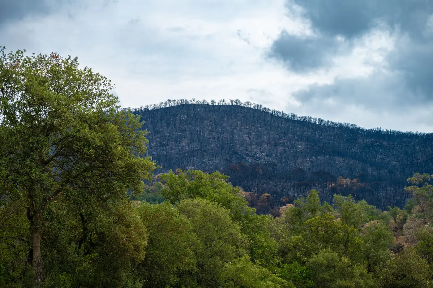
A BARC map is the first severity product most people on a fire ever see that isn't a perimeter line. BARC stands for Burned Area Reflectance Classification, and it's built by differencing a pre-fire and post-fire Normalized Burn Ratio (NBR) image, usually from Landsat, to produce a grid of severity classes across the whole burn footprint: unburned, low, moderate, high. That grid is what a BAER team starts with before anyone walks a hillslope.
If you've spent any time around a Burned Area Emergency Response assignment, you already know the BARC isn't the final word. It's a remote-sensing first pass, delivered fast so the team has something to work from while the fire is still smoldering in places. The real product BAER cares about is soil burn severity, which is a different thing from vegetation burn severity, and getting from one to the other is most of the job.
Why the BARC and soil burn severity aren't the same map
This trips up a lot of people outside the BAER world. The BARC measures change in surface reflectance, which tracks canopy and ground cover consumption reasonably well. Soil burn severity is about what happened underneath, to soil structure, water repellency, and the organic layer that normally slows runoff. A stand of trees can scorch and drop needles, reading high on a vegetation severity grid, while the soil underneath barely cooked. The reverse happens too: areas that look moderate from above can have baked, hydrophobic soil that'll shed water like pavement come the next storm.
A BAER soils team treats the BARC as a working draft and spends the first days of an assignment checking it against the ground. They walk transects in each class, dig a few inches down, check for water repellency with a field test, and reclassify polygons where the ground doesn't match what the satellite said. The output of that process, usually within the first one to two weeks post-containment, is the Soil Burn Severity map that actually drives the rehab plan. The BARC got them there faster. It didn't replace the boots.
How the severity map turns into a rehab plan
Once soil burn severity is finalized, it feeds straight into the numbers that justify treatment. High-severity acreage above a municipal watershed or a sensitive stream reach gets flagged for erosion control, mulch application, or seeding. Road and trail crossings downslope of high-severity ground get culvert upsizing or armor. The values-at-risk analysis BAER teams have to produce for funding, under the Forest Service's emergency stabilization authority, leans on that soil severity breakdown acre by acre.
None of this works if the underlying classification is slow to arrive or stuck at whatever resolution the next clear Landsat pass happens to deliver. On a fast-moving fire, a BARC built on imagery that's a week old is already behind the debris-flow modeling the BAER team needs to run before the first post-fire rain event. Waiting on the next cloud-free overpass has always been the quiet bottleneck in this workflow, and it's the reason a lot of BAER assessments start with a severity picture that's already a little stale.
That gap is what pushed us to build Fire Perimeter Map around SWIR-based burn indices refreshed daily from wide-swath satellite coverage rather than a single flyover: suppression crews get the active front separated from already-burned ground while the fire's still running, and the same burn severity grading carries straight into the post-containment assessment without waiting on a new acquisition window. For a GIS officer trying to hand BAER something usable on day one of the assessment rather than day ten, that daily cadence is the whole point.
A few things to check before you trust a BARC
A couple of practical notes worth keeping in mind when a BARC map lands on your desk. First, check the acquisition date against containment, because a BARC run too soon after active burning can misclassify smoke-obscured or still-smoldering pixels as something they're not. Second, BARC severity classes are relative to that specific fire's pre-fire reflectance, so comparing classes straight across different fires without adjustment will mislead you. And third, if the fire crossed multiple vegetation types, expect the soils team to spend extra time reclassifying, since reflectance change in chaparral doesn't mean the same thing underground as reflectance change in a mixed conifer stand.
If your event is still active and you're tired of handing suppression and recovery two different severity pictures built from two different sources, take a look at what a daily-refreshed severity layer looks like for your fire.