Blog
GACC perimeter data vs. satellite-derived perimeters: what's actually different
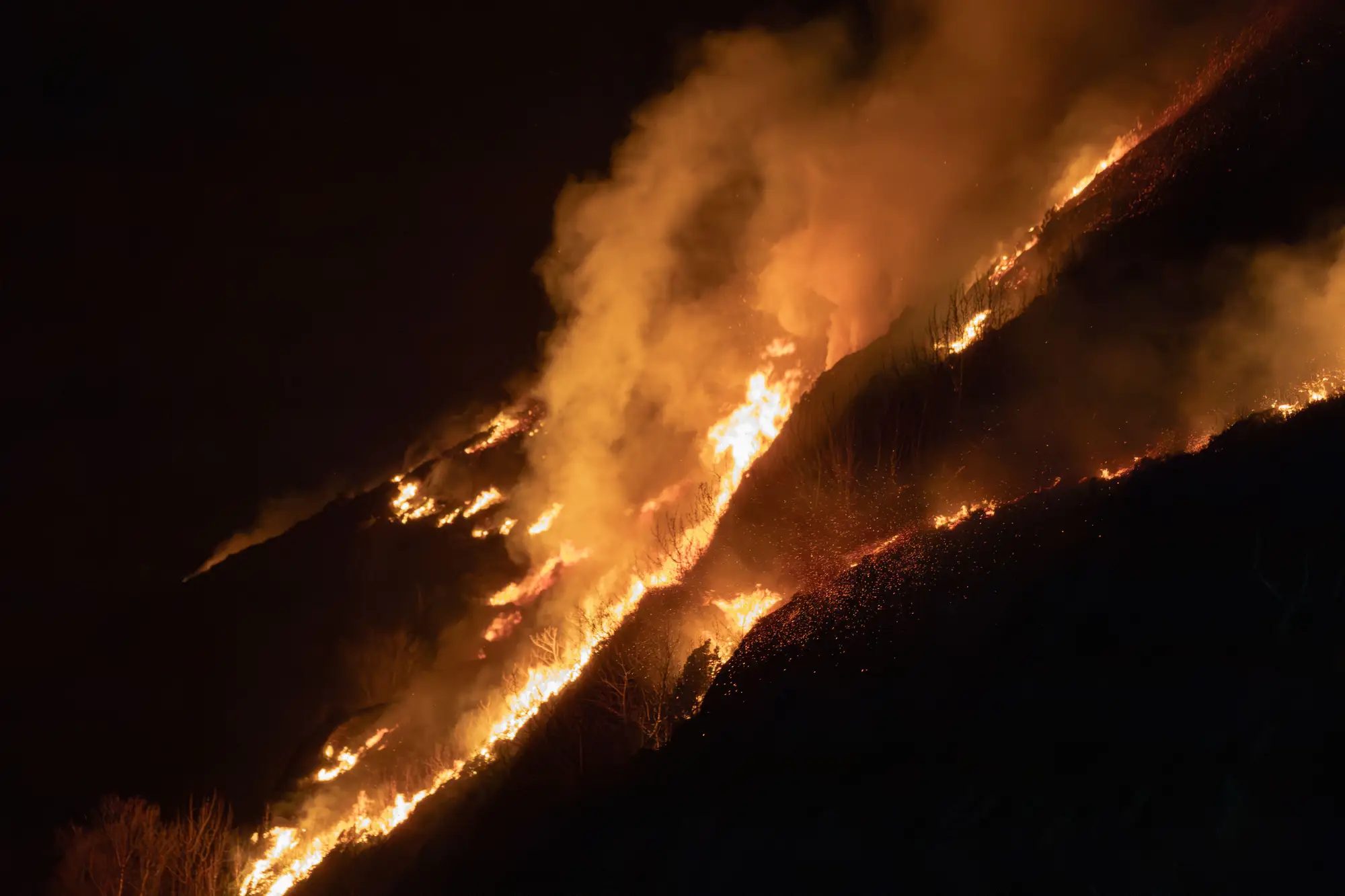
If you've ever pulled the NIFC perimeter layer at 0600 and found it's still showing yesterday's footprint, you already know the problem. The interagency feed is the record of truth for an incident. It's also not always current, and on a fast-moving fire that lag matters.
What GACC and NIFC perimeter data actually is
GACC perimeter data, the stuff that flows up into the NIFC National Incident Feature Service and the old GeoMAC layers before them, comes from people: infrared flight crews, GIS specialists on the incident, sometimes hand digitizing off a night flight shapefile at 2 a.m. so it's ready for the morning briefing. IRWIN ties the incident record together, but the perimeter geometry itself still depends on whether a flight got scheduled, whether smoke or weather grounded it, and whether someone had the bandwidth to QC the polygon before it posted.
That's not a knock on the process. A trained mapping specialist walking a night-flight perimeter against known control lines produces a perimeter you can trust for planning. The limitation is cadence, not quality. On a Type 1 incident with a dedicated IR platform every night, you're in good shape. On a Type 3 fire competing for aircraft with four other starts in the same GACC, or during a multi-day smoke inversion that grounds flights, the posted perimeter can sit stale for a day, two days, sometimes longer. Ops is making line decisions off a shape that was accurate Tuesday night and it's now Thursday afternoon.
Where daily satellite-derived perimeters fill the gap
A wide-swath satellite pass runs on its own schedule, independent of aircraft availability or smoke at the surface, because SWIR bands see through smoke the way visible imagery can't. Short-wave infrared picks up the heat signature of the active fire front separately from the cooler, already-burned ground behind it, so a perimeter and a burn severity grade come out of the same pass. Run that daily while the event is active and you've got an independent check between IR flights, something that catches perimeter growth on the days nobody got a plane up.
The tradeoff runs the other way too. Resolution on wide-swath satellite imagery sits in the 10-30 meter range. That's plenty to see a fire run through a drainage or push past a dozer line, but it won't resolve a spot fire the size of a single structure the way a low flyover or ground GPS track will. GACC data and satellite-derived data aren't really competing for the same job. One is the authoritative incident record built from direct observation. The other is a daily check that doesn't depend on a flight schedule.
Picking which one to brief off of
For the morning briefing packet that goes to the IC and the agency administrator, the GACC/NIFC perimeter stays the authoritative shape, full stop. Where a daily satellite-derived layer earns its place is the gap days: the 36 hours between IR flights when the duty officer needs to know whether the fire crossed Ridge Road overnight before committing resources to that division. It's also useful once containment starts climbing and flight priority shifts to other incidents, right when a fire can still make a run and nobody's watching it as closely.
Fire Perimeter Map builds that daily layer from wide-swath multispectral imagery, splitting active fire front from burned area and grading severity across it so the same pass that shows where the fire is also shows how hard it burned. It refreshes daily for the length of the event and keeps producing severity data into the recovery phase, after containment, when BAER teams need a severity map without waiting on new flight contracts. You can see how that layer is built on the Fire Perimeter Map landing page.
If you're staring down a gap between IR flights on an active fire right now, that's exactly the case this was built for.